Saturday April 12, 2003.
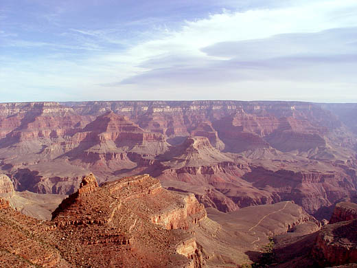
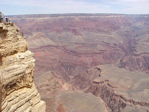
I got up early to watch the sun rise over the Grand Canyon.
It was freezing cold at that high altitude, but I was determined to use my film cameras to capture such a grand
view (I'd only used the digital camera so far on this trip).
With 20 kilograms of camera backpack and tripod, I hiked the quarter
mile from my lodge to the rim, arriving just as the sun was breaking over the horizon. Unfortunately the sun's light
was diffused by a thin cloud cover to the east, so I couldn't get the warm morning light in the canyon as I was hoping.
Two and a half hours and seven rolls of film later, I packed up and went to the cafeteria for a warm breakfast.
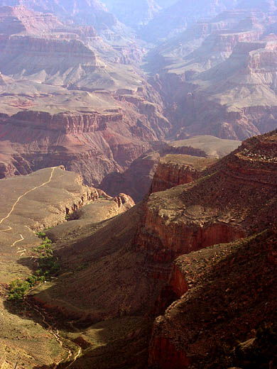
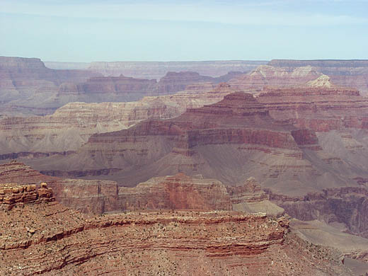
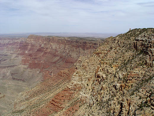
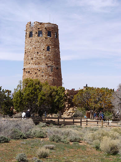
I checked out of the lodge mid morning and proceeded to explore
the view points along the canyon's south rim, eventually making my way out of the Grand Canyon National Park's east exit.
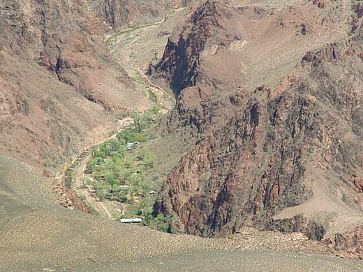
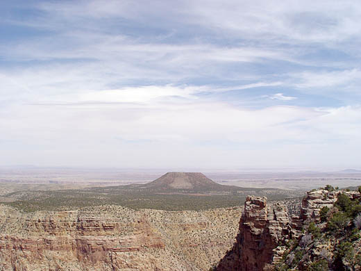
As I headed east along the south rim, the altitude got as high as 7,600 feet above sea level. I vowed that on my next
visit I'll hike down into the canyon to the river and stay overnight at the Phantom Ranch. But keeping in mind the very
high altitude of the rim, I'll be wise to spend a few days acclimatizing to the thin air and low humidity before making such
a big hike.
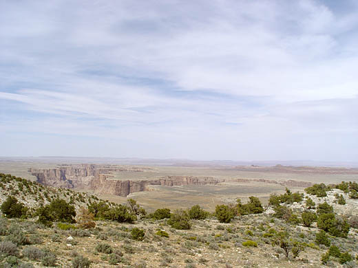
I turned north across the Painted Desert on highway 89 and
then east on highway 160 to Kayenta, which is in the heart of a Navajo Indian reservation, and near the entrance of Monument
Valley Tribal Park.
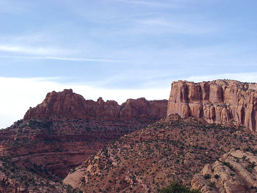
The Arizona scenery from the Grand Canyon to highway 89 is quite
'other worldly'. But then it gets hot and dry across the Painted Desert, and once on highway 160 east, the road is mostly
straight all the way to the horizon, running parallel to the Santa Fe railway line.
I took in too much sun on my face today, both while walking around
the Grand Canyon, and while driving with the window down. I'll take a day off tomorrow so I can stay out of the sun
for a while.
Distance driven today: 152 miles
Total driving distance for trip so far: 1980 miles